Global Hi-Tech Survey offers professional services in:
Plot designing and set-out
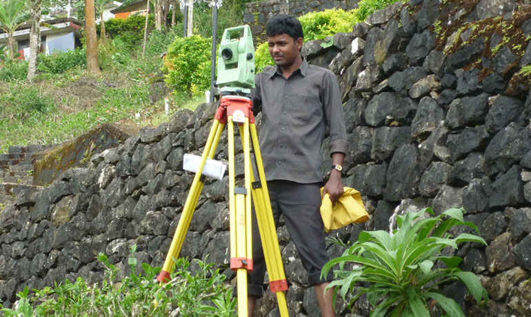
Topographic survey
Preparation of contour map
Preparation of location map
Alignment survey of roads,bridges and canals
Earth volume calculations
Stakeout of pile point, column, building
Route survey of pipeline
Electrical tower line, tunnels
Detailed survey of major projects like Hydro-electric projects and ports
Transferring a pre-defined point or map to the land with high degree of accuracy and it is widely used for subdivided plots in real estate sector and for providing pile points and column / building points in construction and architectural industry.
Designing of individual plots in a stretch of land, with the best available shape for residential and commercial purpose, providing enough road access and other features as per the requirement of the client.
Surveying the boundary lines of individual plots, agricultural lands, small and large estates of residential, commercial and industrial segments, within the least time by the best available technology and equipments to the most precise value for the computation of area.
Surveying of all the details of a land including trees, buildings, wells, ponds, drainages, and other structures, with pinpoint accuracy.
Accurate calculation of earth volume of a hill or the calculation of earth volume required to fill the earth for construction and industrial purpose.
Providing survey for the preparation of alignment and for transferring a pre-defined alignment of roads, bridges, canals etc.
Surveying of an existing network route of pipe lines, electrical tower lines, tunnels etc. or transferring a predefined network route to the land.